
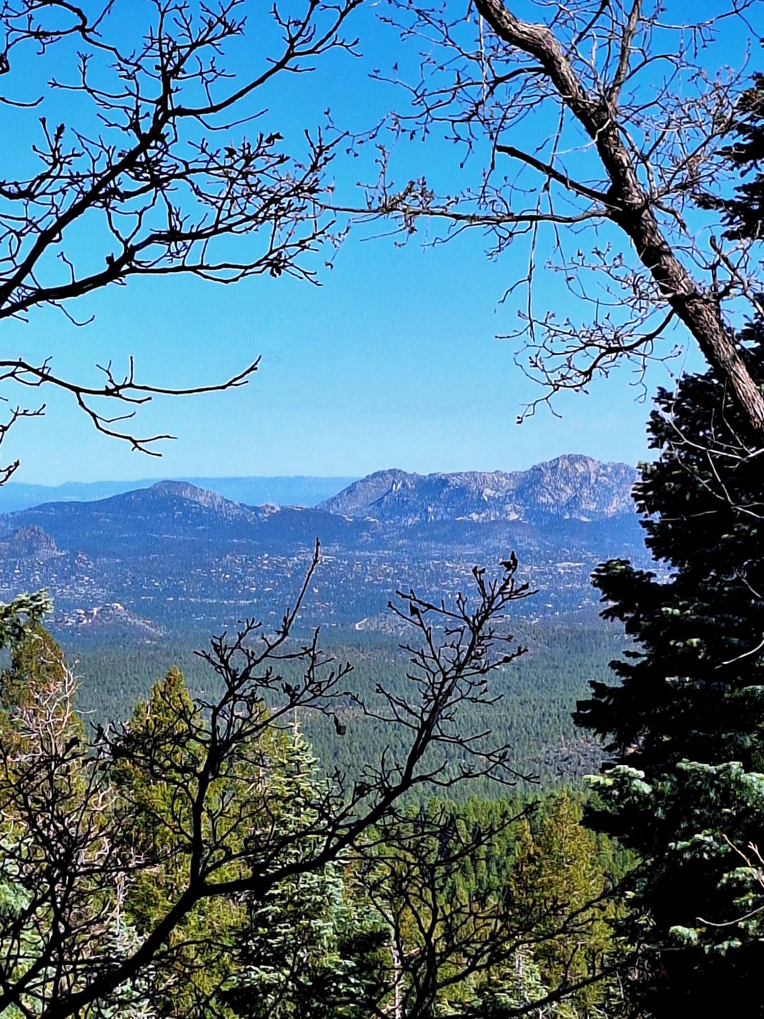
Nestled in the high country of central Arizona, Prescott offers some of the Southwest’s most diverse and rewarding hiking experiences. This charming mountain town sits at over 5,000 feet elevation, providing a refreshing escape from the desert heat while showcasing unique landscapes that include dramatic granite formations, beautiful lakes, dense pine forests, and expansive high desert vistas.
What makes Prescott truly special for trail enthusiasts is its year-round accessibility. While Phoenix swelters in summer heat, Prescott’s elevation keeps temperatures pleasant for outdoor activities.
The mild winters allow for comfortable trail activities when other mountain destinations are buried under snow. Whether you’re seeking family-friendly nature walks, challenging summit climbs, or multi-day backpacking adventures, Prescott’s trail system delivers experiences for every skill level and interest.
While this article has been prepared for hiking trips, please understand that our trails are shared among all trail groups. You will encounter mountain bikers, trail runners, and equestrians also enjoying the trails.
Please follow trail etiquette, this enhances everyone’s trail experience.
Signature Prescott Hikes: The Must-Do Trails
Thumb Butte Trail #33
Distance: 2.5-mile loop | Difficulty: Moderate
This iconic trail leads to one of Prescott’s most recognizable landmarks. The moderate climb rewards hikers with panoramic views of the surrounding mountains and valleys.
Spring brings spectacular wildflower displays, while strategically placed picnic spots make this perfect for a half-day adventure. The trail offers excellent sunrise and sunset viewing opportunities, making it popular with photographers and romantic evening hikers alike.
Granite Mountain Trail #261
Distance: 8.2 miles round-trip | Difficulty: Hard
For serious hikers seeking a challenge, Granite Mountain delivers one of the area’s most demanding yet rewarding experiences. The trail climbs through diverse ecosystems, from high desert scrub to dense pine forest, culminating in dramatic granite cliffs and spectacular summit views.
Birdwatching opportunities abound throughout the hike, with species ranging from desert dwellers to mountain forest inhabitants. Please take note that this is a wilderness trail. There are some restrictions including hiking groups no larger than 15 people and equestrian groups no larger than 10 animals.
Sorry, no mountain biking. Dogs must be on leash at all times.
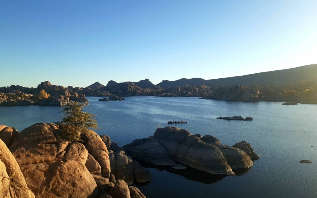
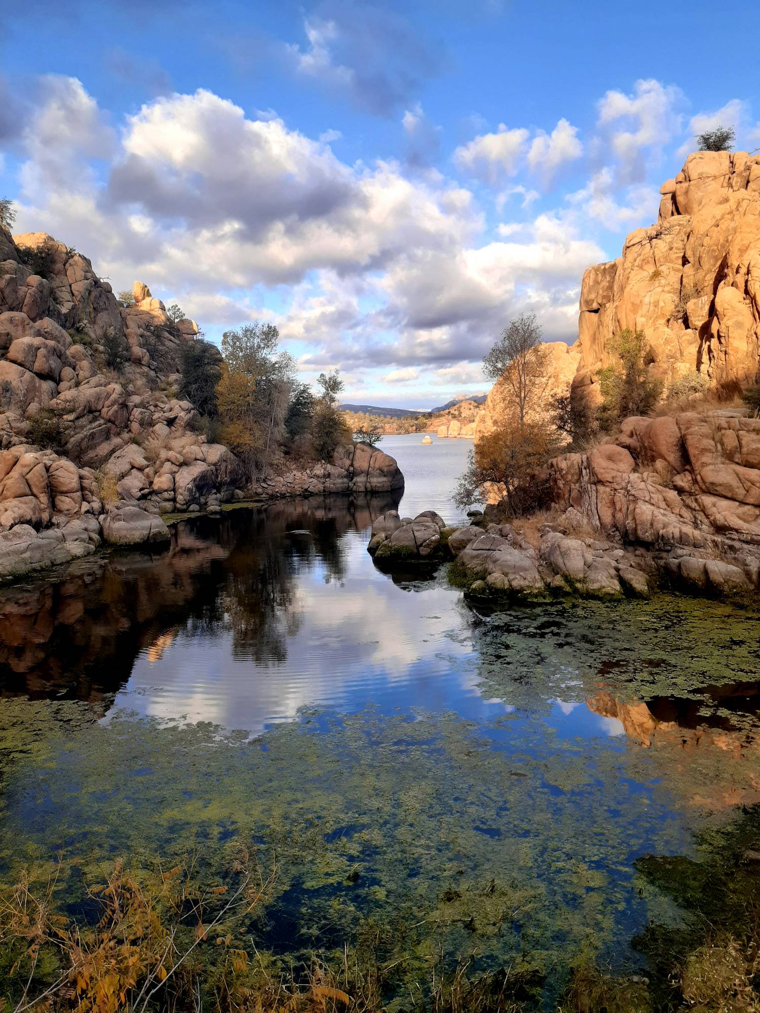
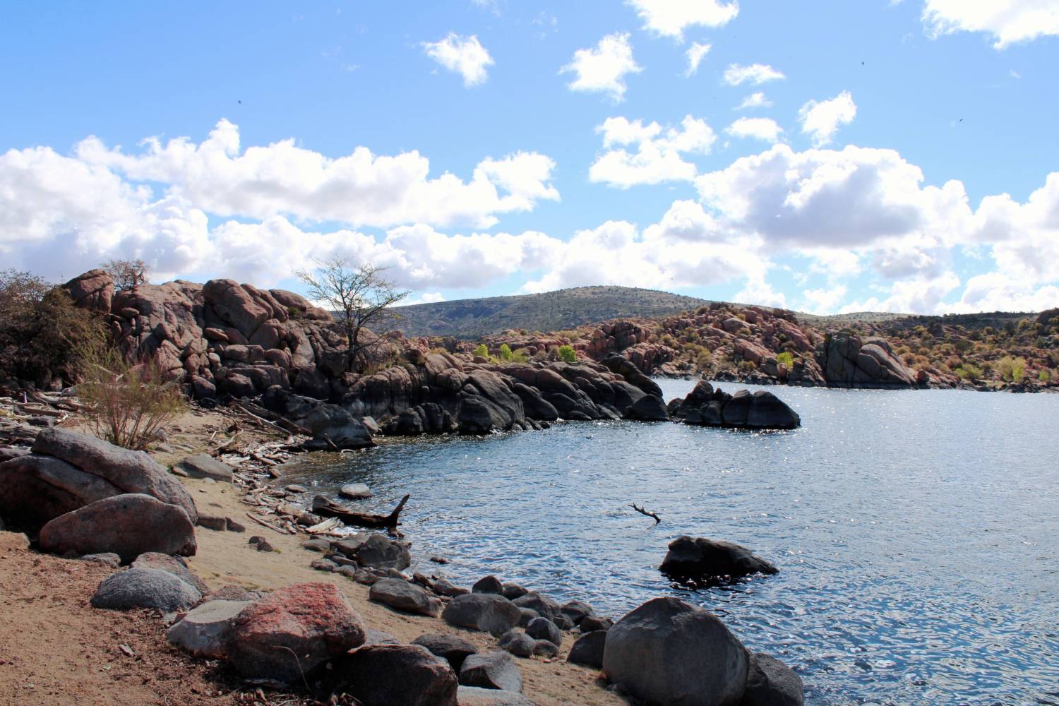
Watson Lake and Constellation Trails
Distance: 6+ mile loops | Difficulty: Easy to Moderate
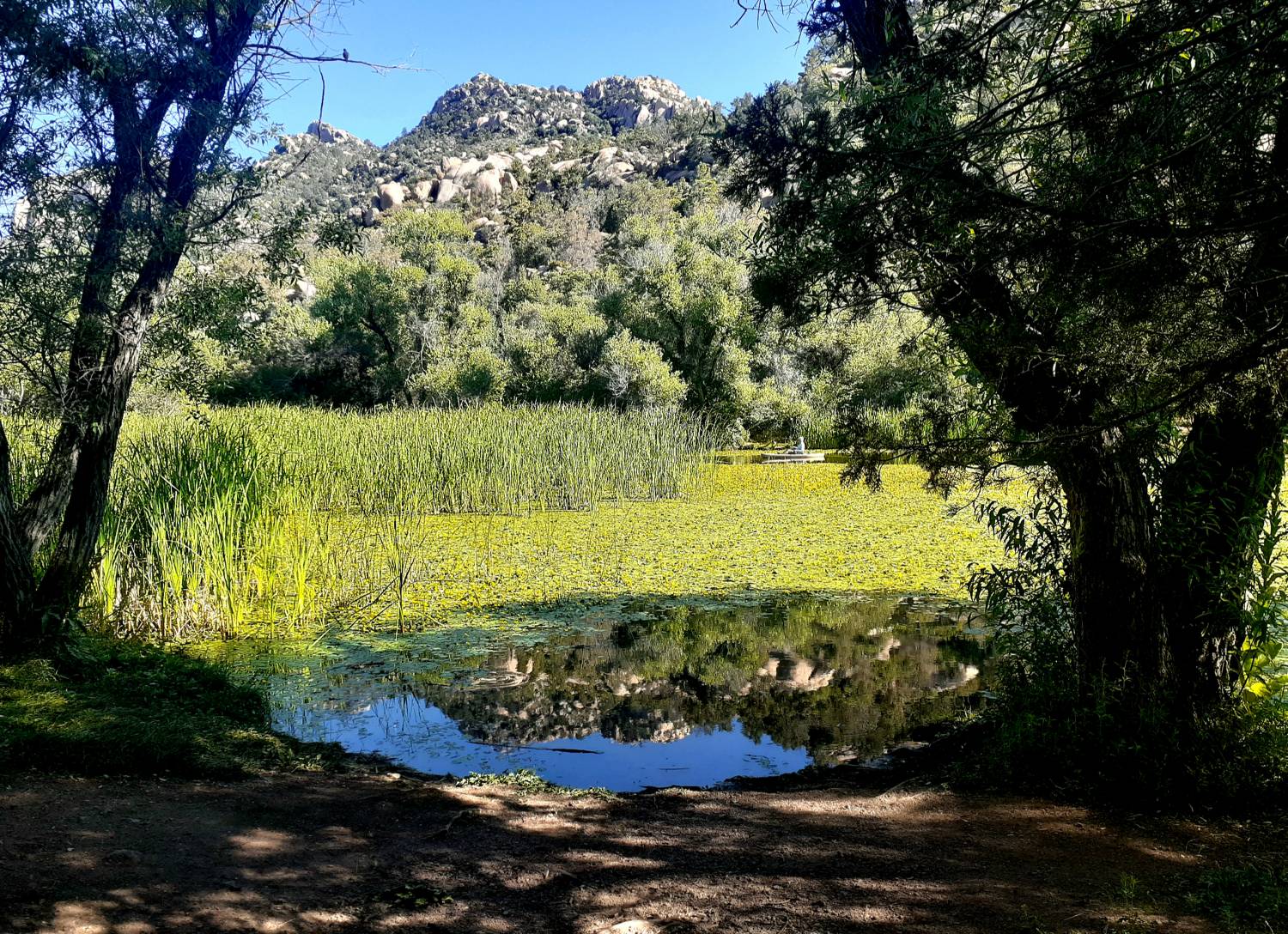
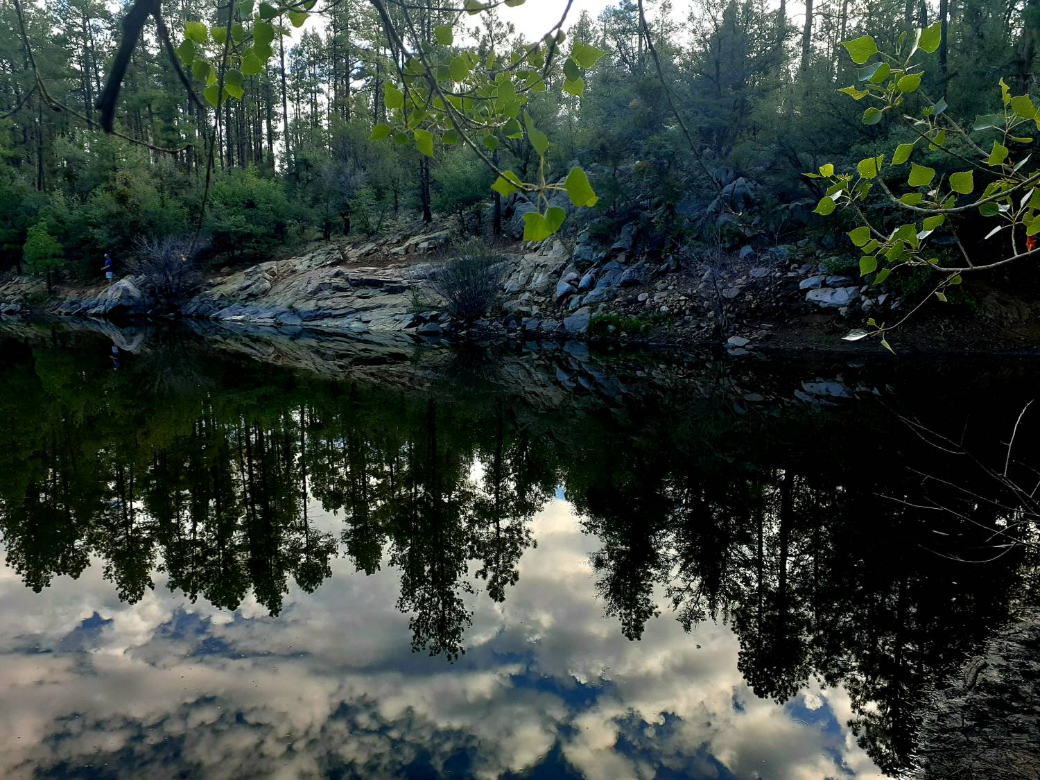
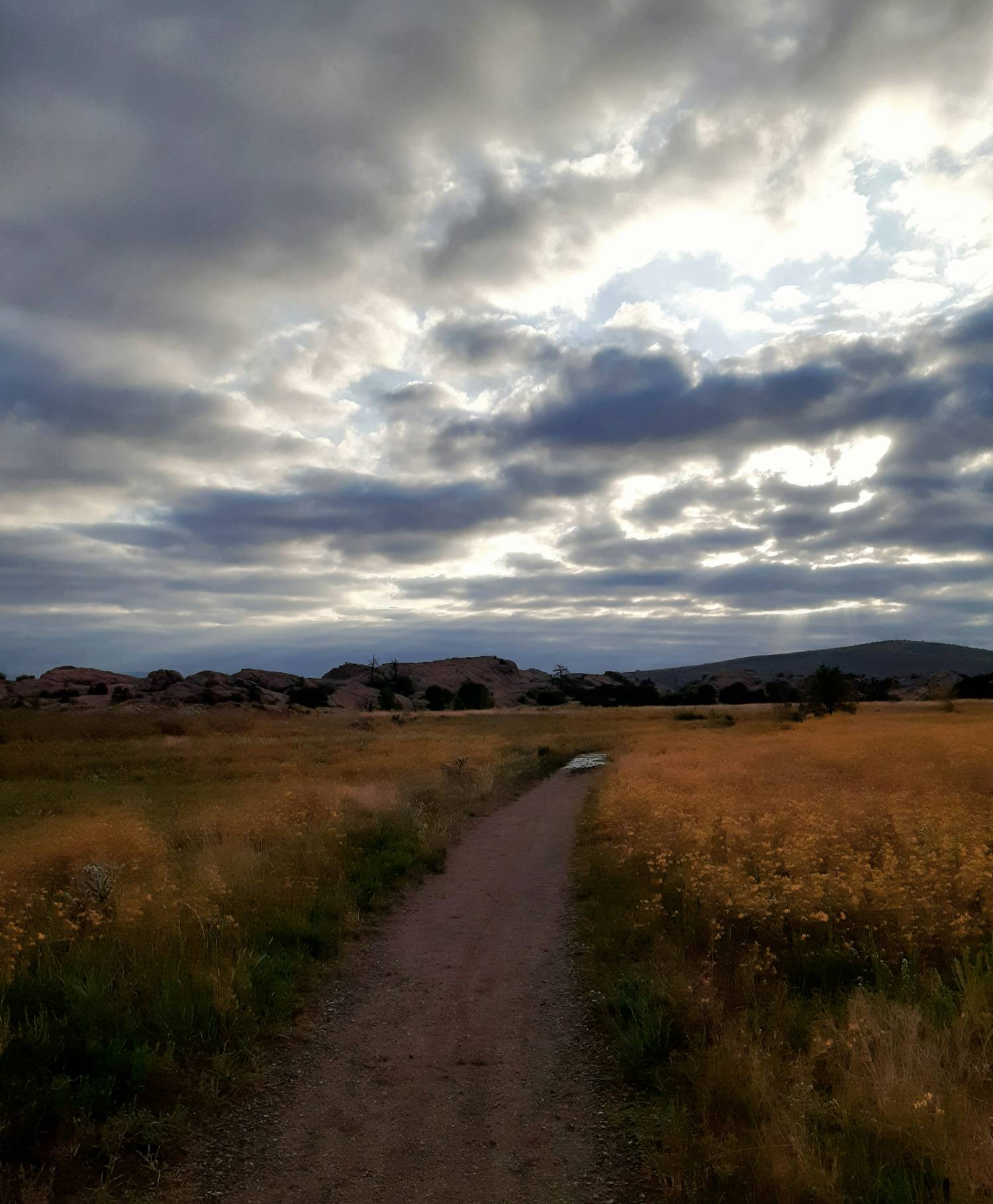
The famous Granite Dells provide the backdrop for these interconnected trails around Watson Lake. The unique geological formations create a landscape unlike anywhere else in Arizona, with massive granite boulders rising from the lake’s edge.
These trails offer excellent sunrise photography sessions. Multiple trail connections allow trekkers to customize their distance and difficulty level.
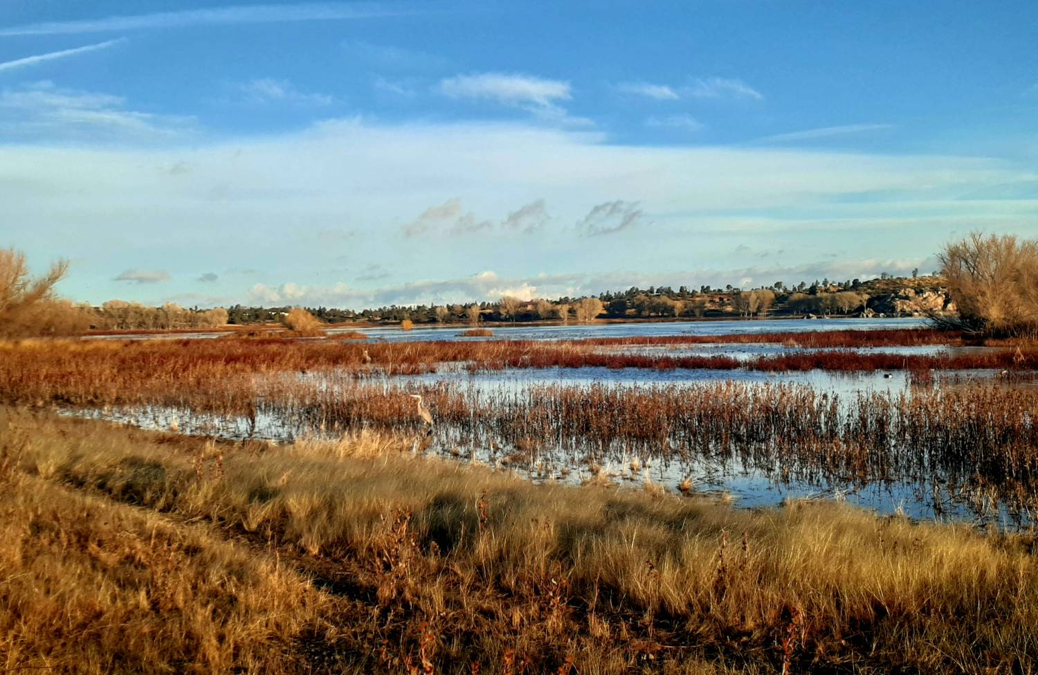
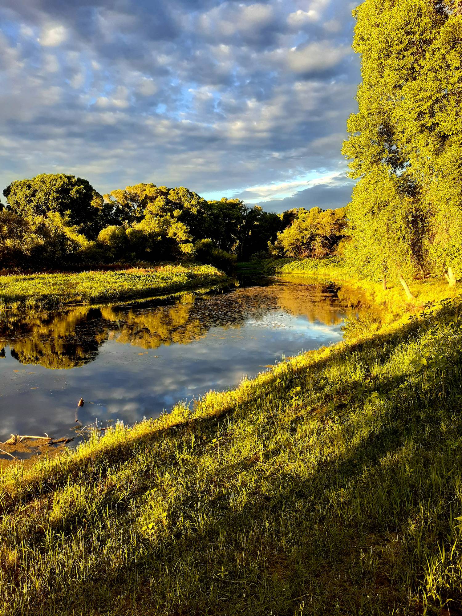
Willow Lake Loop
Distance: 5.7-mile loop | Difficulty: Moderate
This scenic loop combines lakeside walking with exploration of the southern Granite Dells. The trail showcases diverse ecosystems, from riparian areas near the water to classic high desert terrain.
Wildflower enthusiasts will find excellent displays in spring, while bird watchers can spot both water birds and desert species throughout the year.
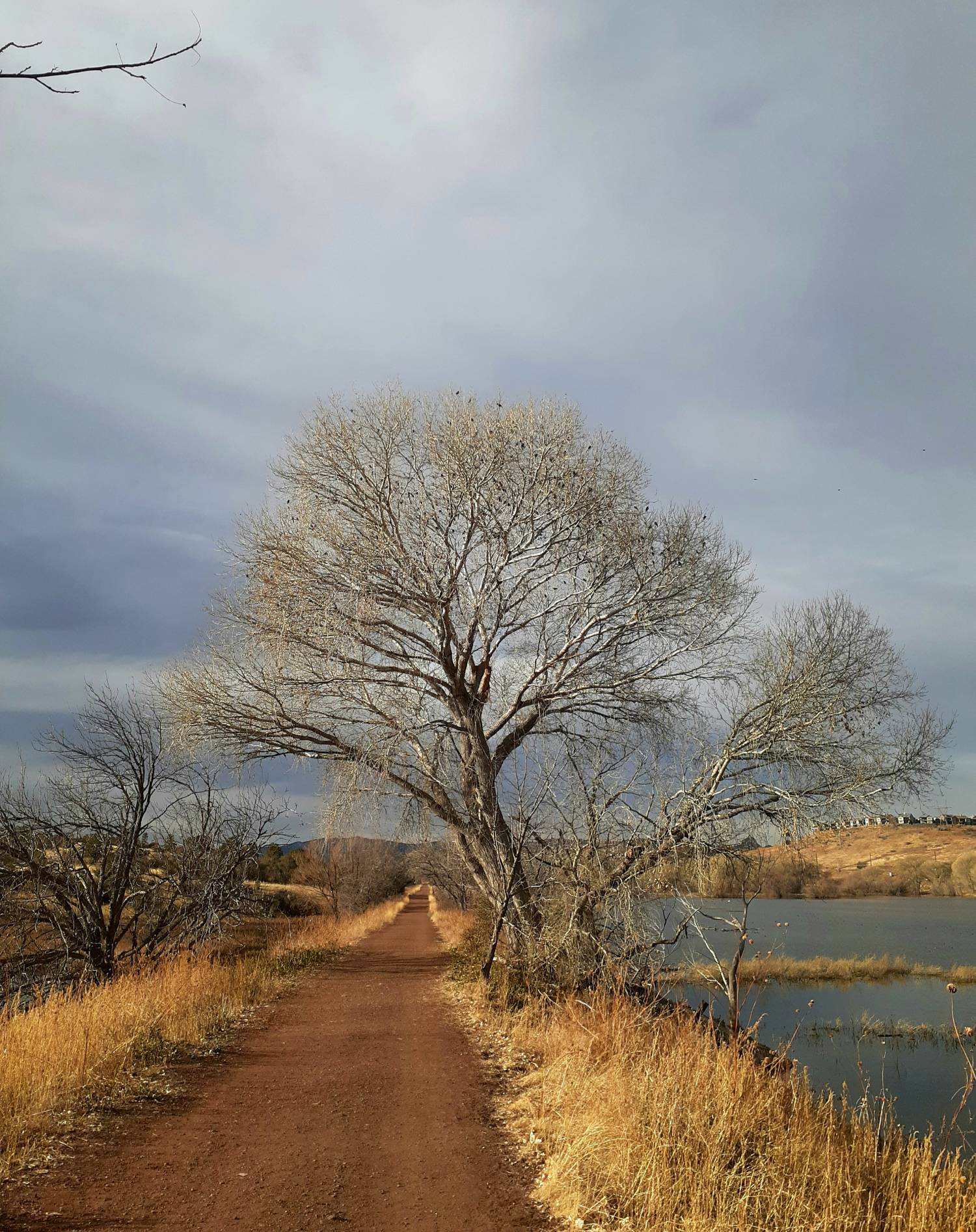
Peavine Trail
Distance: 12 miles round-trip | Difficulty: Easy
Built on a historic railroad grade, the Peavine Trail offers one of the area’s most accessible long-distance trail experiences. The gentle grade makes it perfect for families, beginning hikers, or those seeking a less strenuous adventure.
The trail passes multiple lakes and showcases remnants of Prescott’s railroad heritage.
Mountain bikers also frequently use this trail, making it a great multi-use recreation corridor.
Lynx Lake Loop #311
Distance: 2.4-mile loop | Difficulty: Easy
Ideal for families with children or those seeking a peaceful, shaded walk, Lynx Lake Loop provides a gentle introduction to Prescott’s natural beauty. The lakeside setting offers fishing opportunities, while the shaded trail provides comfortable hiking even during warmer months.
Abundant birdlife and the lake’s serene atmosphere make this a favorite for nature photography and quiet contemplation.
Salida Gulch Trail #95
Distance: 4.8 miles round-trip | Difficulty: Moderate
Following a riparian corridor, Salida Gulch Trail offers welcomed shade and seasonal wildflower displays. The trail’s unique microclimate supports different plant communities than the surrounding desert, creating diverse hiking experiences within a single outing.
Stream crossings and rocky terrain add interest without excessive difficulty.
Hoot Owl Trail #745
Distance: 3.2 miles round-trip | Difficulty: Moderate
For hikers seeking solitude and forest immersion, Hoot Owl Trail provides a quiet retreat into dense pine forest. The shaded environment supports excellent birdwatching opportunities, while the relatively modest distance makes it accessible for most fitness levels.
The trail’s peaceful setting makes it perfect for meditation walks or nature study.
The Prescott Circle Trail: Arizona’s Hidden Multi-Day Gem
The 56-mile Prescott Circle Trail represents one of Arizona’s most ambitious and rewarding hiking projects which the Yavapai Trail Association played a key role in creating.
This comprehensive loop completely encircles the city, gaining and losing 6,650 feet of elevation while showcasing every major ecosystem and geological feature the area offers.
Hikers can approach the Circle Trail in multiple ways: as a challenging 3-5 day backpacking adventure or broken into individual day-hike segments. Each section offers distinct experiences and landscapes.
Key Sections and Highlights
Watson Lake to Yavapai Campground (Granite Basin): This section showcases the famous Granite Dells and multiple lake systems while demonstrating the fascinating transition from urban edges to pristine wilderness. The contrast between developed recreation areas and wild landscapes illustrates Prescott’s unique character.
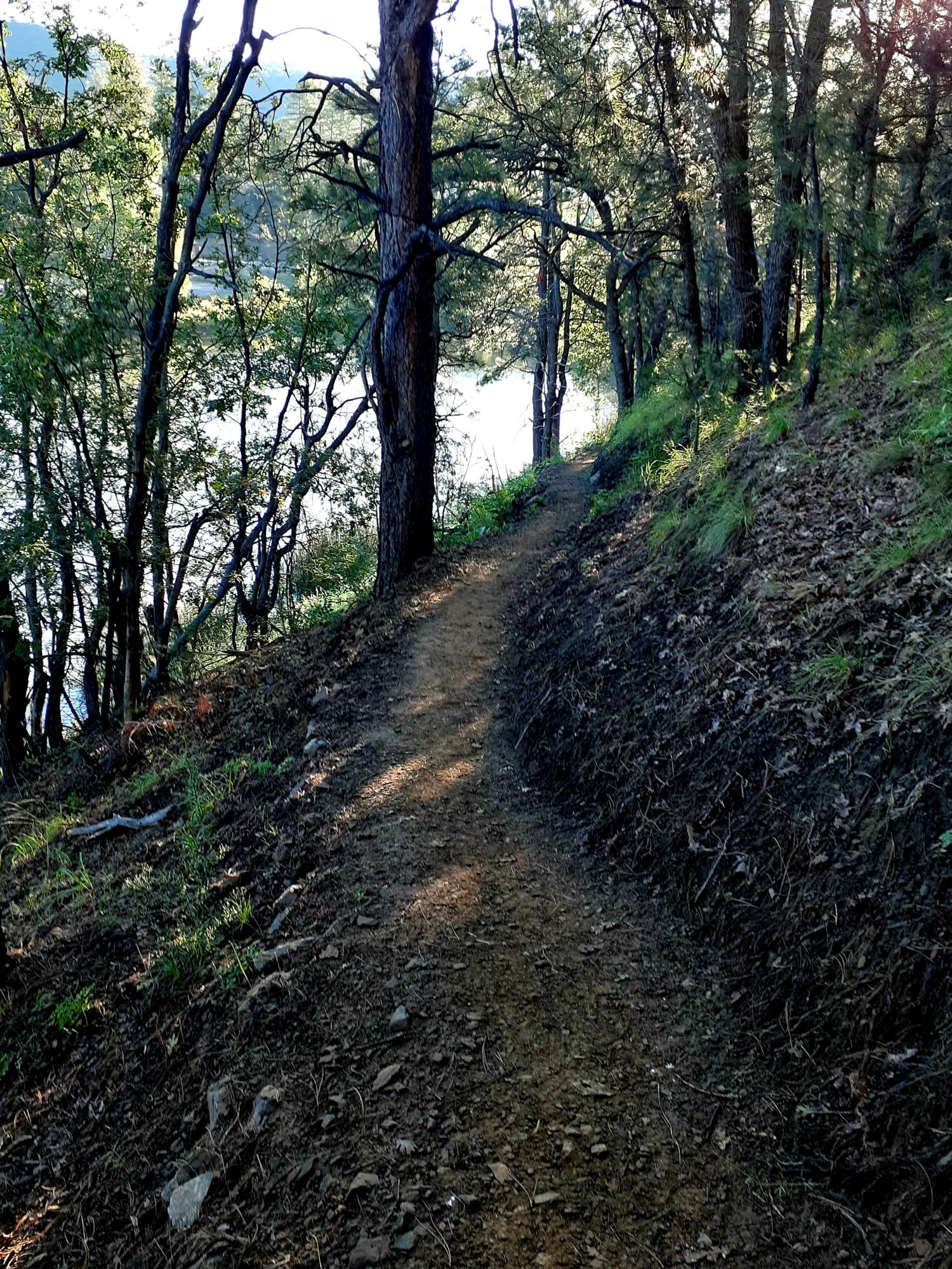
Granite Basin to White Spar Campground: Deep pine forest dominates this segment, offering the most remote and wilderness-like experience on the entire loop. Towering ponderosa pines create cathedral-like settings while providing welcomed shade during warmer months.
White Spar to Goldwater Lakes: Cool streams and old-growth pine forests characterize this section, with seasonal water sources and some of the trail’s most pristine forest environments. This segment often provides the best wildlife viewing opportunities.
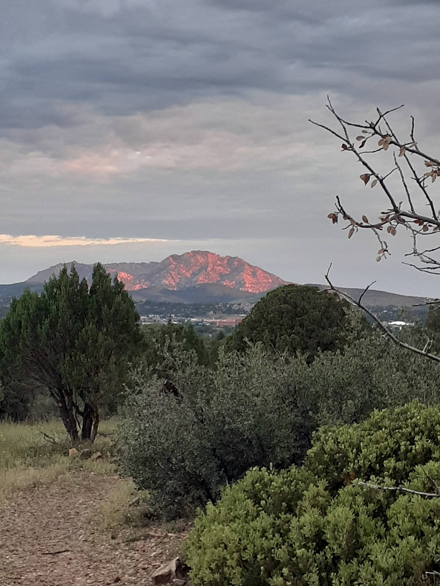
Badger Mountain Segment: The trail passes near Prescott’s famous “P” on the hillside while providing sweeping views of both the city and surrounding mountain ranges. This section offers some of the Circle Trail’s most dramatic vistas and photographic opportunities.
Logistics and Planning
The Circle Trail passes three established campgrounds – Watson Lake, Yavapai, and White Spar – providing reliable overnight options for multi-day hikers. Dispersed camping follows strict regulations and is only permitted in designated areas within Prescott Basin.
Navigation remains straightforward thanks to excellent trail marking, though hikers should verify current trail numbers for specific segments. Cell phone coverage exists along most of the route, but carrying backup navigation via smartphone apps or printed maps provides additional security.
Water planning requires careful attention to seasonal conditions. While campgrounds provide reliable sources, natural water availability varies dramatically throughout the year and following weather patterns.
Hidden Gems and Local Favorites
Beyond the well-known trails, Prescott offers numerous lesser-traveled routes that provide unique experiences and fewer crowds.
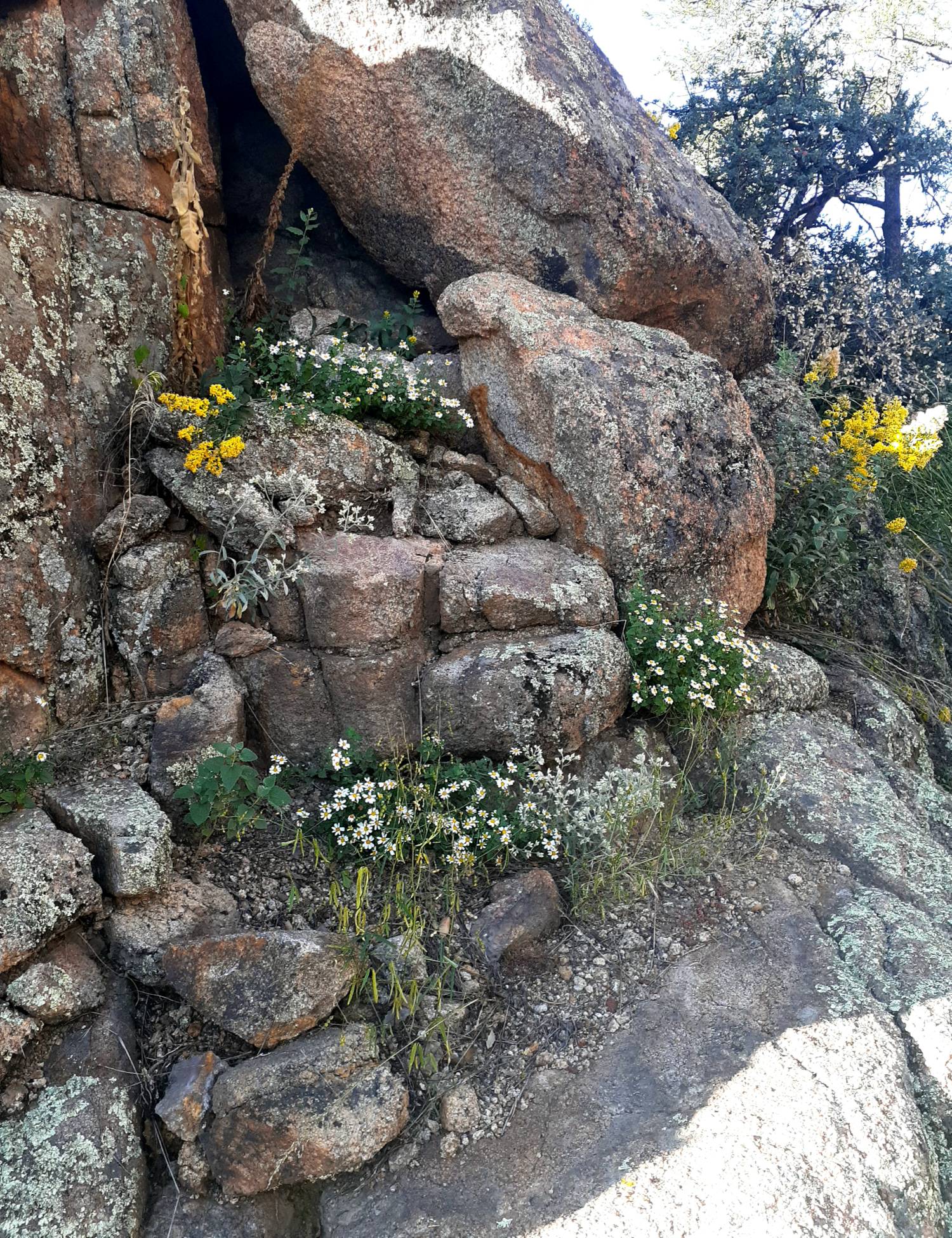
7 Mile Gulch Trail attracts hikers seeking solitude and spectacular spring wildflower displays. The trail’s remote location means fewer visitors, while its diverse elevation zones create extended blooming seasons.
Baby Granite Loop offers rugged terrain and stunning overlooks of Granite Mountain without the crowds of more popular trails. The challenging route rewards experienced hikers with dramatic granite formations and expansive views.
Spence Basin Loops provide a network of single-track trails popular with both hikers and mountain bikers. The interconnected system allows for customized adventures while offering some of the area’s best opportunities for solitude.
Goldwater Lakes to Senator Highway combines streamside walking with historical exploration. Remnants of Prescott’s mining and railroad heritage dot this route, while seasonal streams provide habitat for unique plant and animal communities.
Choosing Your Perfect Prescott Hiking Trail
By Difficulty Level
Easy Trails: Lynx Lake Loop and Peavine Trail offer gentle introductions to Prescott hiking. These routes provide beautiful scenery without technical challenges, making them perfect for families, beginners, or recovery hikes.
Moderate Trails: Constellation Trails, Willow Lake Loop, Thumb Butte, and Salida Gulch provide more challenging terrain while remaining accessible to most hikers with basic fitness levels.
Hard Trails: Granite Mountain Trail demands serious preparation and fitness, rewarding experienced hikers with some of the area’s most spectacular and hard-earned views.
Family-Friendly Options
Lynx Lake Loop, Constellation Trails, and Peavine Trail excel for family adventures. These routes offer engaging scenery, manageable distances, and interesting features to keep children motivated and entertained.
Accessibility Considerations
Groom Creek Nature Trail provides ADA-compliant hiking opportunities, while paved sections of Lynx Lake accommodate wheelchairs and strollers. Several trailheads offer accessible parking and restroom facilities.
For Solitude Seekers
Hoot Owl Trail, Baby Granite Loop, and Spence Basin Loops provide the best opportunities for quiet, uncrowded hiking experiences. These trails see fewer visitors while offering equally rewarding natural experiences.
Wildflower Enthusiasts
Salida Gulch and 7 Mile Gulch trails provide the most reliable and spectacular wildflower displays, particularly during spring months following adequate winter precipitation.
Hiking with Dogs
Most Prescott trails welcome leashed dogs, but the area’s sharp granite rocks and desert conditions require special preparation. Dog boots protect paws from hot rocks and sharp edges, while extra water ensures proper hydration. Always carry waste bags and follow strict leash enforcement policies.
Expert Tips and Local Insights
Beat the Heat
During summer months, seek trails offering natural shade and cooling features. Groom Creek, Goldwater Lakes, and Hoot Owl trails provide forest canopy protection, while stream corridors offer additional cooling. Early morning starts become essential during peak summer heat.
Water Sources and Seasonal Considerations
Trails near established lakes—Lynx, Watson, Willow, and Goldwater—offer the most reliable water access, though seasonal conditions affect natural sources. Spring snowmelt and monsoon seasons provide the best natural water availability, but always verify current conditions before depending on seasonal sources.
Trail Etiquette and Regulations
Prescott trails follow “Wheels Yield to Heels” protocols, with mountain bikers yielding to hikers. Both groups yield to equestrians. Strict leash enforcement protects both wildlife and other visitors.
All trash must be packed out, with no exceptions for organic waste like fruit peels or food scraps.
Optimal Timing
April through May and late September through October provide the best overall hiking conditions. These shoulder seasons offer comfortable temperatures, potential wildflower blooms, and generally clear weather.
Avoid June through August heat, particularly on exposed granite formations where temperatures can become dangerous.
Leave No Trace Principles
Prescott’s fragile granite soils and unique plant communities require careful protection. Stay on designated trails to prevent erosion and plant damage. Trail cutting causes lasting environmental damage in these sensitive ecosystems.
Wilderness and Backpacking Adventures
Multi-Day Circle Trail Planning
The Prescott Circle Trail supports various multi-day itineraries. Popular options include 3-day trips using all three established campgrounds, or 4-day journeys allowing for shorter daily mileages and more exploration time.
Water planning remains crucial for multi-day trips. Each segment requires careful attention to seasonal water availability, with backup plans for unexpected dry conditions. Campgrounds provide reliable water sources, but natural sources vary significantly throughout the year. Please plan for no water availability.
Dispersed Camping Regulations
Dispersed camping is permitted only in designated areas within Prescott Basin. Strict regulations protect sensitive environments while providing primitive camping opportunities for experienced backpackers.
Wildlife Safety and Precautions
Rattlesnakes present the primary wildlife concern, particularly during warmer months and in rocky terrain. Black bears and mountain lions occasionally visit the area but remain relatively rare. Javelina sightings occur regularly but these animals typically avoid human contact.
Food storage requirements remain minimal compared to high-bear-activity areas, though popular camping areas may attract raccoons and rodents. Basic food protection prevents nuisance animal encounters.
Essential Gear Recommendations
Sun protection becomes critical in Prescott’s high-elevation environment. Wide-brim hats, sun shirts, and sunglasses prevent dangerous exposure. Quality hiking shoes or boots provide essential ankle support on rocky terrain.
For exposed granite areas, consider bringing umbrellas for portable shade during rest breaks. Water filtration systems allow utilization of seasonal natural sources when properly treated.
Planning Your Prescott Hiking Adventure
Parking and Fees
Most major trailheads charge $5 daily use fees through either City of Prescott or National Forest systems. Annual Passes provide excellent value for frequent visitors and cover most fee areas.
Popular trailheads fill early during peak seasons and weekends. Arrive early or consider less popular alternatives during busy periods.
Maps and Navigation
Trail brochures at trailhead kiosks provide basic information, while detailed maps are available through City of Prescott and Forest Service websites. Smartphone apps like AllTrails offer offline mapping capabilities for areas with limited cell coverage.
Facilities and Services
Established campgrounds provide restrooms and water access year-round. Trailhead facilities vary seasonally, with some water sources and restrooms closed during winter months. Always check current facility status before beginning hikes.
Transportation Considerations
Most trailheads offer adequate parking, though popular destinations fill quickly during peak times. Limited shuttle services exist for some trail systems, while ride-sharing services provide alternatives for one-way hikes or car-free adventures.
Overnight parking policies vary by location. Multi-day hikers should verify regulations and notify appropriate authorities when leaving vehicles for extended periods.
Frequently Asked Questions
What’s the quietest major hike on a weekend?
Hoot Owl Trail and Baby Granite Loop see the fewest weekend crowds while still offering excellent hiking experiences. Early morning starts on any trail dramatically reduce encounter rates with other hikers.
Can I swim or paddle in the lakes?
Watson Lake and Willow Lake allow paddling, though the water remains cold year-round and rocky shores limit easy access points. Always check current regulations and water conditions before entering. At the time of this writing Lynx Lake is the only area lake offering swimming options.
Where can I see fall color changes?
Groom Creek, Goldwater Lakes area, and Granite Basin provide the best autumn leaf displays, typically peaking in October depending on seasonal weather patterns.
What about hiking during monsoon season?
Summer monsoons create flash flood risks in washes and low-lying areas. Monitor weather forecasts carefully and avoid canyon bottoms during storm periods. Lightning also presents serious risks on exposed ridges and peaks. If you hear thunder or see lightening, it’s time to head indoors.
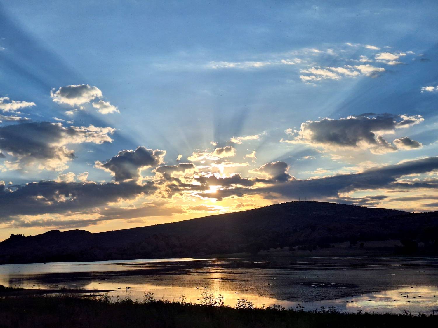
Which trails offer the best photography opportunities?
Watson Lake provides iconic granite formation shots, while Thumb Butte and Badger Mountain offer spectacular sunset and sunrise opportunities. The diverse landscapes throughout the trail system support various photographic interests from wildlife to landscapes.
Are snakes and bears really a concern?
Rattlesnakes present a real but manageable risk, particularly in rocky areas during warmer months. Make noise while hiking, watch where you step, and wear appropriate footwear. Bear and mountain lion encounters remain rare, but proper food storage and awareness prevent most conflicts.
Check trailhead kiosks for any notices of increased activity.
Discover Prescott’s Trail Magic
Prescott’s trail system stands out among Arizona’s hiking destinations through its remarkable diversity, year-round accessibility, and unique combination of high desert and mountain forest environments.
The dramatic granite formations, beautiful lakes, and extensive trail network create hiking opportunities unmatched elsewhere in the Southwest.
From gentle family strolls around mountain lakes to challenging multi-day backpacking adventures, Prescott welcomes hikers of all abilities and interests.
Yavapai Trail Association’s commitment to trail maintenance, environmental protection, and sustainable recreation ensures these natural treasures will inspire future generations of outdoor enthusiasts.